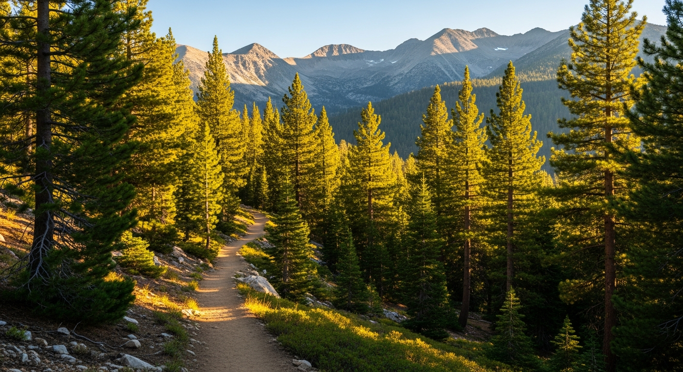
Pine Mountain Club Hiking Trails
From fault-line walks to mountain summits — explore trails right from your doorstep at 5,500 feet.
Tanner Brown | Your Local Mountain REALTOR® | DRE 02011892
Trail Guide
Explore Pine Mountain Club's trail network — from short nature walks to all-day summit treks through the Los Padres National Forest.
San Andreas Fault Trail
EasyWalk along the San Andreas Fault scarp through meadows and Pinon Pine forest. A unique geological experience right inside PMC. Start from the PMC Campground at the west end of Arctic Drive.
Historic El Camino Viejo Trail
EasyFollow California's oldest inland highway through gold mining history. Discover smelter pits and a historic witness tree along this well-preserved route. Start from Nesthorn Way.
Bernina Creek Trail
EasyA scenic creek walk featuring deformed trees and views of Mt. Pinos. Best visited in early spring when the creek is flowing. Start from the Bernina Drive cul-de-sac.
Mil Potrero Forest Trail
Easy to ModerateAn old vehicle trail winding through large pines that connects to other PMC trail systems. Great for longer explorations. Located 1/4 mi past the PMC sign on Mil Potrero Hwy.
McGill Trail to Mt. Pinos
ModerateA long-distance forest trail climbing to the summit of Mt. Pinos at 8,831 ft. Excellent wildlife viewing opportunities along the way through diverse mountain terrain.
Condor Peak / Iris Point Trail
ModerateEnjoy panoramic mountain views and visit a California condor viewing area. One of the best spots in the region for spotting these magnificent endangered birds.
Trail Tips & Safety
Bring Water
No water sources on most trails. Carry at least 1 liter per hour of hiking, more in summer heat.
Fire Closures
National Forest trails may close during fire season. Check Los Padres National Forest alerts before heading out.
Winter Gear
Snow is common November through March at higher elevations. Bring traction devices and dress in layers.
Dogs on Trails
Dogs welcome on most community trails when leashed. Check National Forest regulations for specific trail rules.
Frequently Asked Questions
What are the best hiking trails in Pine Mountain Club?
Are there easy hiking trails in Pine Mountain Club?
Can I hike to Mt. Pinos from Pine Mountain Club?
Are dogs allowed on Pine Mountain Club hiking trails?
When is the best time to hike in Pine Mountain Club?
Where can I see California condors near Pine Mountain Club?
Where This Lifestyle Fits Best
Pine Mountain Club's trail network starts right from your neighborhood — no driving required. But the surrounding communities offer even more. Frazier Park serves as the gateway to Mt. Pinos and the Chumash Wilderness, while Cuddy Valley and Lockwood Valley put you closer to backcountry terrain. Lake of the Woods and Lebec offer forest access with their own character, and Pinion Pines Estates provides an affordable entry point to the mountains.
Find Your Place in the Mountains
Whether you're drawn to the trails, the peace, or the community — there's a mountain home waiting. Let me help you find it.
Start Your Search